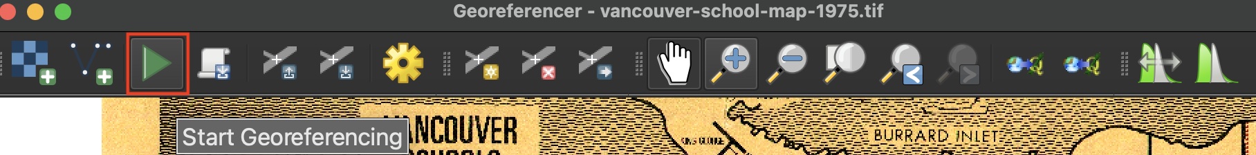
Run Georeferencer
Once you have made 20 to 30 control points, run the Georeferencing tool to see what it looks like.
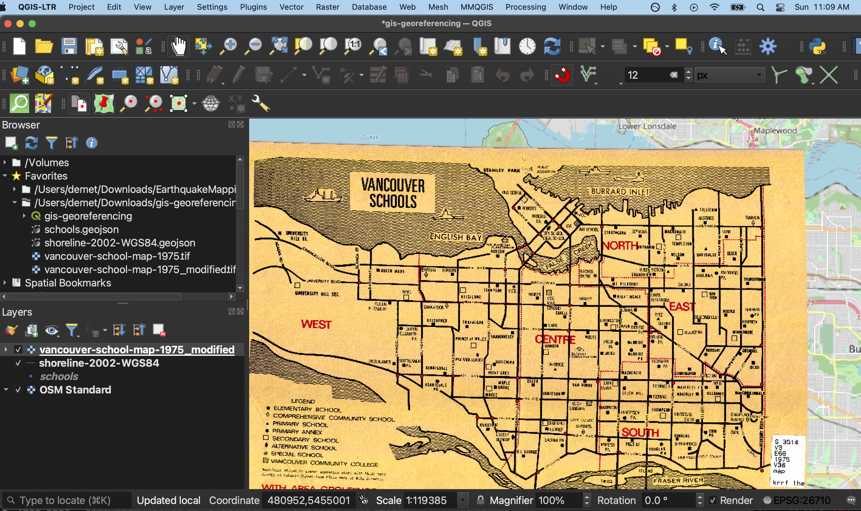
Adjust the transparency of the modified image from layer Properties to assess how accurately it was georeferenced.
![]()
You can return to the Georeferencing Window, make edits to your GCPs, and re-run the tool until you are satisfied. Note that although we didn’t add GCPs along the shoreline, it neatly overlaps the Target Layer. This confirms our suspicion that the historical map was already projected. Georeferencing historical maps with unknown or no projections is more difficult.
Loading last updated date...