Geospatial Introduction
Geospatial data, or simply ‘spatial data’, is data that is spatially referenced to Earth using location information – most commonly geographic coordinates. A Geographic Information System, or GIS, uses this location information to project a geospatial file into a virtual geographic space where it can then be visualized and analyzed.
Raster vs. Vector
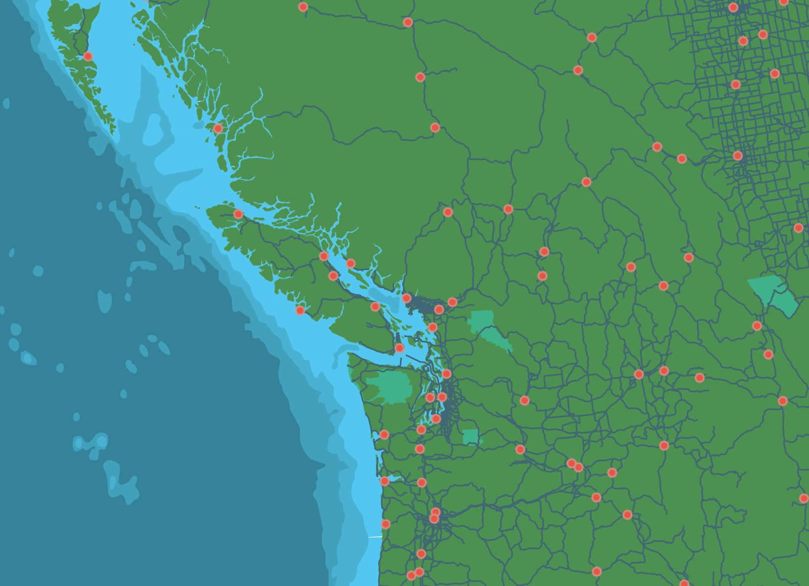
Geospatial data is often referred to as having two main types: raster and vector. Raster data is data which is made up of pixels arranged in a grid, whereas vector data is made up of vertices and the paths between them – creating geometries that represent real-world features or phenomena. In other words, a vector data layer will be made up of either points, lines, or polygons.
Formatting
If you’re a GIS user, you have likely encountered a shapefile before. Shapefiles are the industry standard file type for geographic vector data. A shapefile stores data in binary (0s and 1s, not text), so you wouldn’t be able to read the file with human eyes. GeoJSON on the other hand, is a geospatial file type meant for the web. GeoJSON is “easy for humans to read, and easy for machines to read”, meaning it’s a lightweight, simplified format your average web browser can use. And, they’re also fairly easy to understand if you want to view and edit them in a code editor. Here’s the geoJSON for a point over UBC:
{
      "type": "Feature",
      "properties": {
        "name": "The University of British Columbia"
      },
      "geometry": {
        "type": "Point",
        "coordinates": [
          -123.25012207031249,
          49.26186749272789
        ]
      }
    }
Raster data are often stored as .tif or .tiff files. Today’s workshop will focus on vector data.
Reminder/review of formats used so far in this workshop
Table of contents
Loading last updated date...