Coordinate Reference Systems
Now I’m going to complicate things a bit by introducing the term coordinate reference system (CRS), of which projections are a part.
Let’s break down the term a bit.
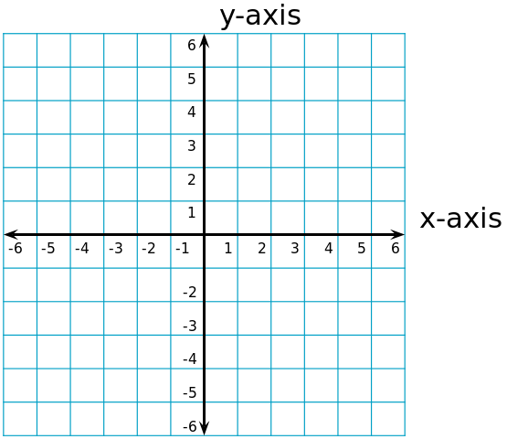
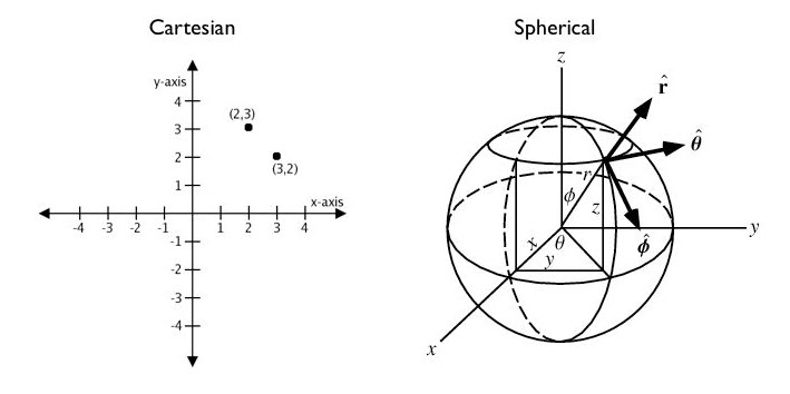
You may all be familiar with a coordinate system from your algebra days. A coordinate system defines a location in 2-dimensional space on an XY axis.
So, what’s the problem?
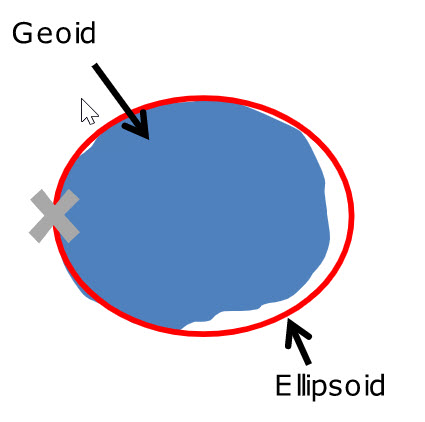
We live on a 3-dimensional earth that is neither perfectly round nor perfectly spherical.
-
The shape of the earth is mathematically approximated by something called a geoid, which tries to account for the irregularity of the earth’s surface.
-
An ellipsoid is a smooth-surfaced sphere, onto which we can assign coordinates to specific locations, reflected in degrees of latitude and longitude.
So we need a coordinate system that adapts to the Earth’s shape.
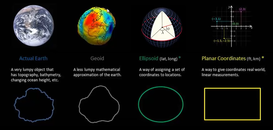
A CRS does this by defining the translation between a location on the earth and that location on a flattened, 2 dimensional coordinate system.
A CRS comprises:
- Coordinate system: XY grid
- Horizontal and vertical units: units used to define the grid along XY(and Z) axis
- Datum: A model of the earth
- Projection: mathematical equation used to flatten the surface of the earth onto a 2-dimensional plane , i.e. a paper map or a computer screen.
At this point you might be wondering what a datum is. We’ll address this in the next section before we go on to talk about two different kinds of coordinate systems used in geospatial software.
This section references ideas, phrases, and images from Earth Lab, pbc GIS, Intro to GIS and Spatial Analysis, PostGIS and ArcGIS Blog.