Link
Understanding Map Projections
Menu
Outline
Land acknowledgement
Participating online
Introduction
Coordinate Reference System
Datums
Coordinate Systems
Map Projections
Choosing the Right Projection
Map Projection Humour
Exercises
Exercise 1 - What coordinate system is my data in?
Exercise 2 - Projecting On-the-Fly
Exercise 3 - Project Your Data
Exercise 4 - Calculating Population Density
Conclusion
Resources
Acknowledgements
Search
Map Projections
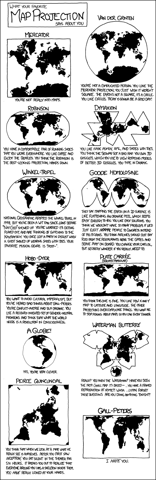
Map Projection Humour
What your favorite map projection says about you.
(c)
xkcd,
CC BY-NC 2.5