What is QGIS?
A Geographic Information System (GIS) such as QGIS works with data that is tied to a location on Earth. This type of data is often referred to as GIS data, or geospatial data, and is spatially referenced to Earth using location information – most commonly geographic coordinates. A GIS uses this location information to project a geospatial file into a virtual geographic space where it can then be visualized and analyzed.
QGIS is a popular desktop GIS software, and considered a free and open source software (FOSS) with a very active development community.
QGIS Pros⇡
- Runs on Windows, Mac, Linux, Android
- Extensive online documentation
- Active development and user communities
- Robust plugin repository for extended functionality
QGIS Cons⇣
- Most recent features can be buggy
- Plugins lack standardized documentation
- Troubleshooting = Internet Searching
Downloading and Installing QGIS
QGIS can be downloaded from qgis.org’s Downloads page. In most cases, you’ll want to download and install the Long term release (LTR) instead of the latest release. The link for this download is just below the big green button. Downloading the QGIS-LTR will give you most of the functionality you’ll need, without encountering the software bugs of newly released versions. 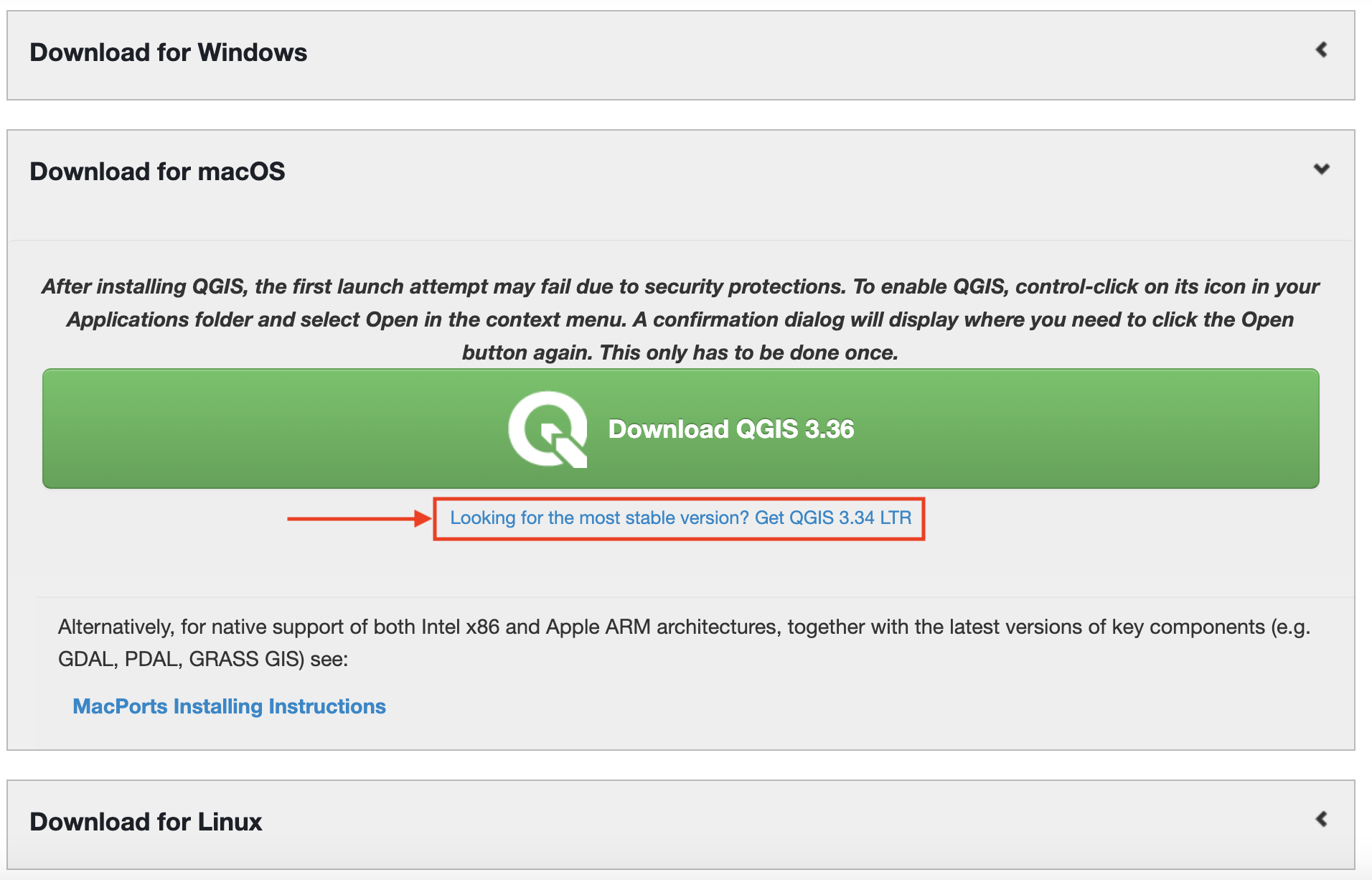
Resources for Learning QGIS
- Map Production with QGIS
- Tools & Workflows in QGIS
- QGIS User Guide
- QGIS Training Material
- Spatial Thoughts Academy QGIS course
- Numerous youtube videos and tutorials online, such as this free comprehensive courses for beginners, or this one, or this one. Central Washington University Department of Geography has a great Youtube Channel with QGIS demonstrations. If the QGIS Versions don’t entirely match yours, that’s okay! The interface is still pretty much the same.
- Search your questions on the internet. It’s likely you’re not the first one to run into an issue. Use specific jargon as search terms; for instance, if you want to know what the resolution of a raster means, search ‘resolution meaning raster’. Browse youtube videos. Scroll through stack exchange conversations.