Reference Mapping for Academic Publication
In this beginner-friendly workshop, you will learn how to create simple, static reference maps such as those to accompany academic publications. We will use QGIS, a free and open-source Geographic Information System (GIS) for analyzing, modifying, and visualizing spatial data. By the end of this workshop, you will have the confidence to:
- Decide what kind of map best conveys your research or contextualizes your study area;
- Find and download relevant spatial data;
- Load datasets into QGIS and style them as data layers;
- Compose a map that includes a title, scale bar, legend, and north arrow; and
- Export this map into formats compatible with print and digital publication.
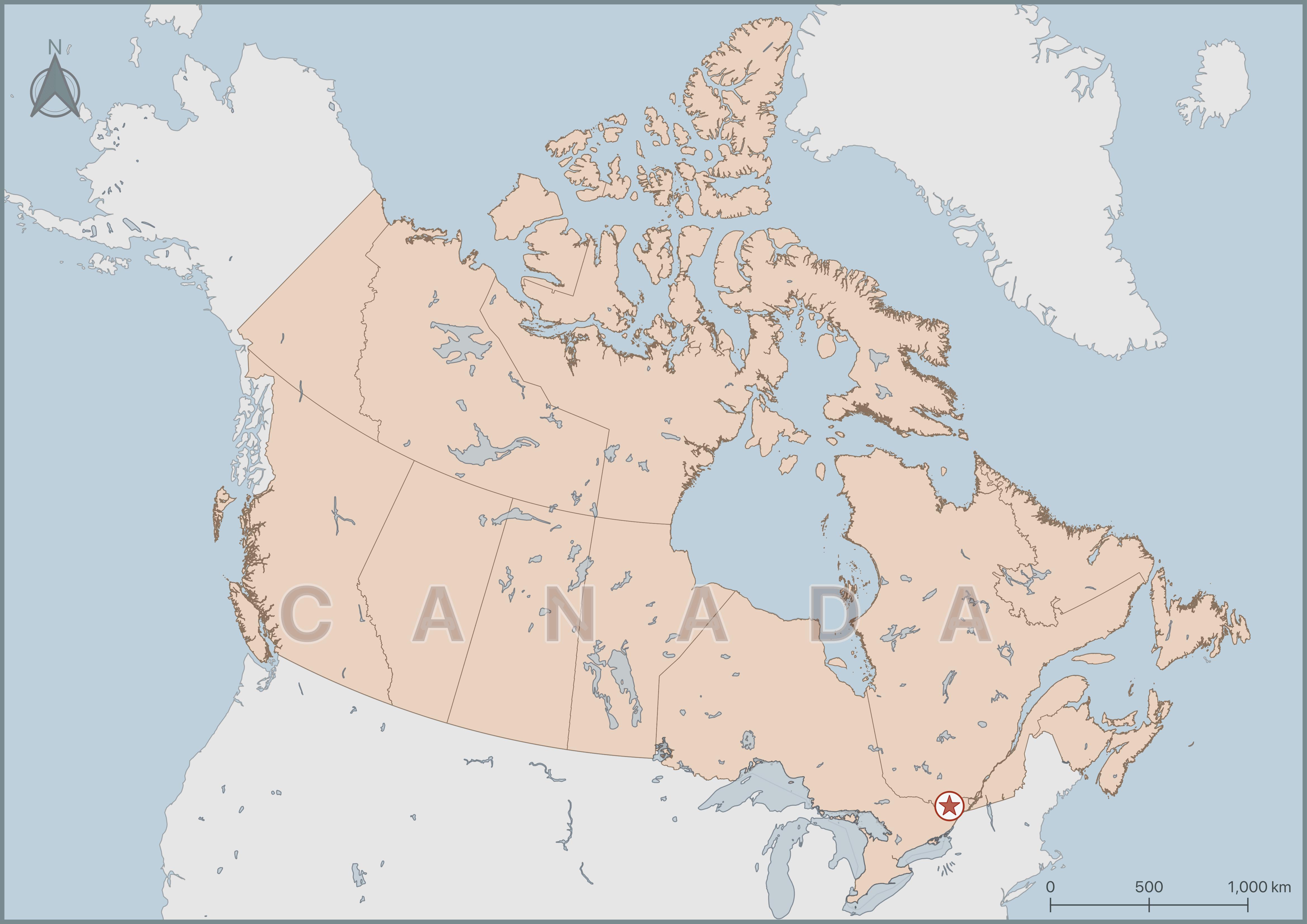
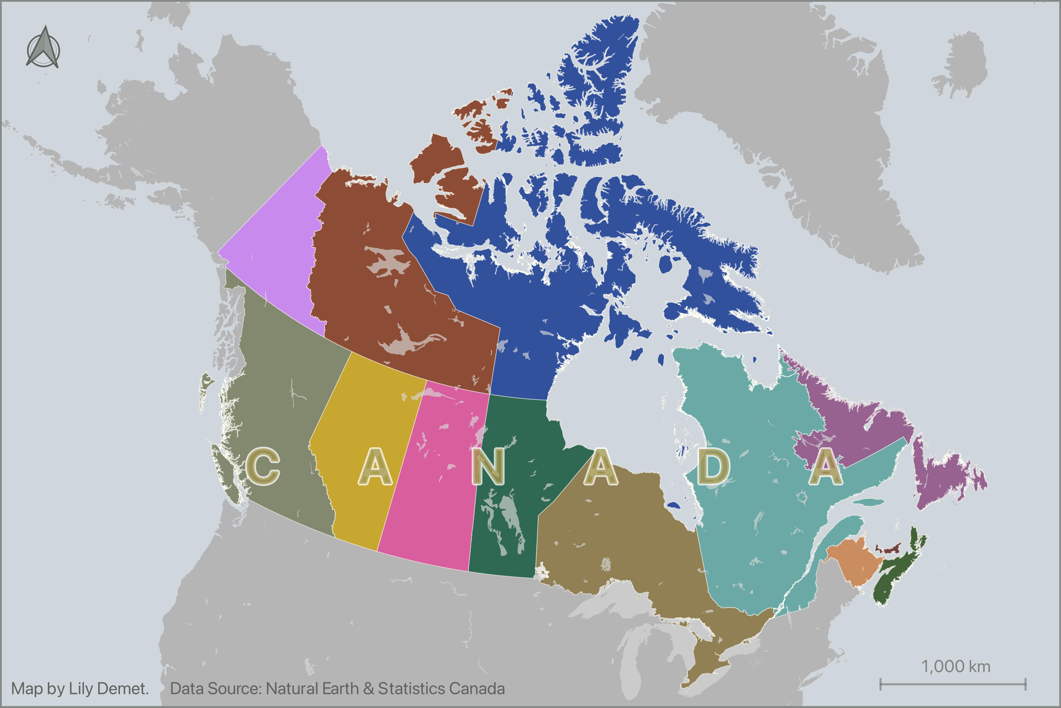
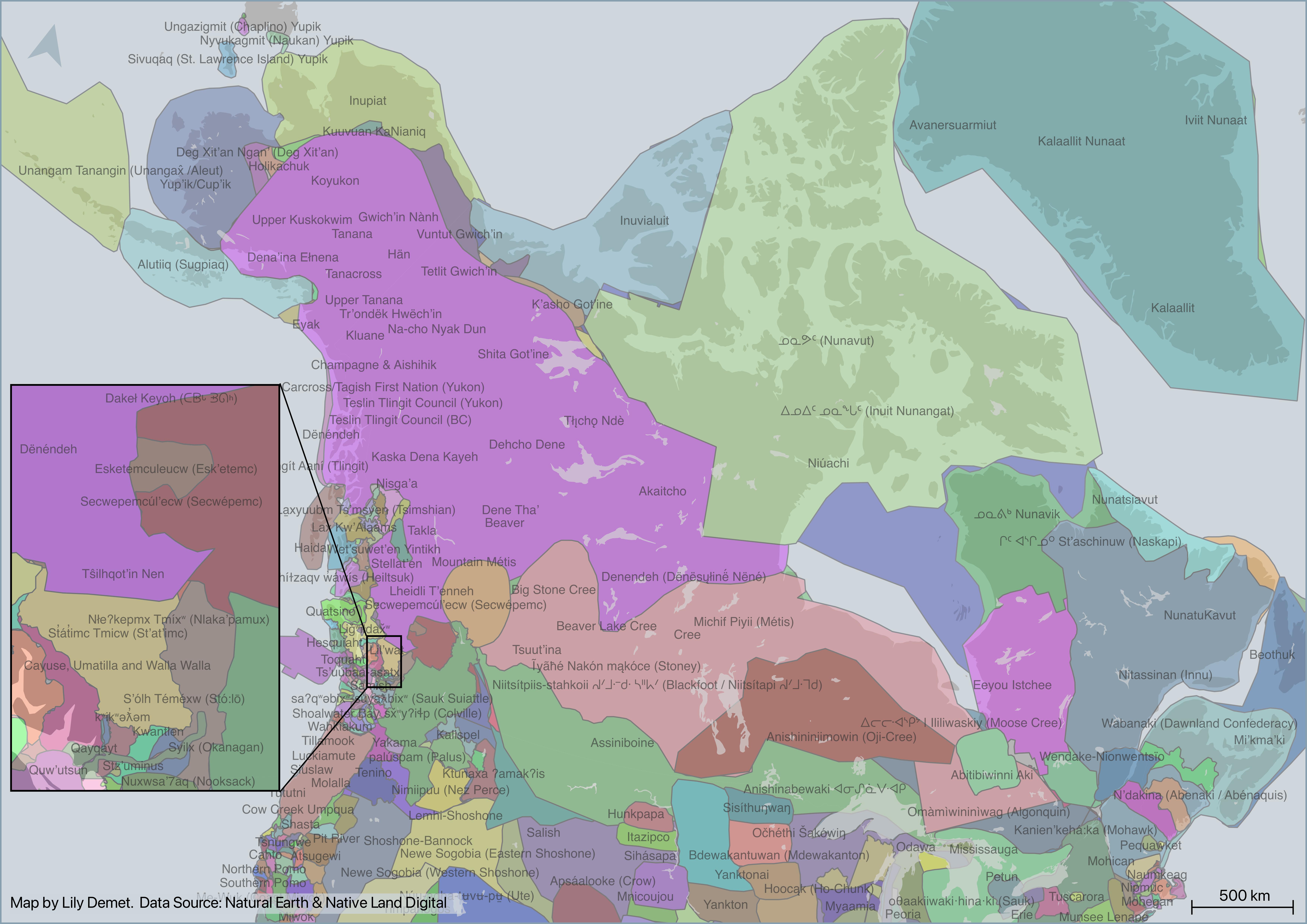
Why make your own reference map? While maps of your research area may already exist, they often have licenses that prohibit their republication elsewhere. Alternatively, you might want to show a location specific to your research, or mark the sites where fieldwork was conducted. Although the use or reproduction of existing maps is frequently restricted, the data used to create them is often readily available. This means you can make your own map with it!
Before the Workshop!!
-
Review our Introduction to Mapmaking with QGIS Please note that the fundamental skills and concepts pertaining to spatial data, map types, and the QGIS interface will not be covered during this workshop. Therefore, prior to the workshop date, please review our Introduction to Mapmaking with QGIS. Review of this resources is required prior to workshop attendance.
-
Make sure you’ve downloaded QGIS QGIS can be downloaded from qgis.org’s Downloads page. In most cases, you’ll want to download and install the Long term release instead of the latest release. This will give you most of the functionality you’ll need without encountering the software bugs of newly released versions. See here for further guidance on installing QGIS.
-
Download and unzip the workshop data folder below. Download it to a folder on your physical computer, such as Desktop or Downloads, not OneDrive.
Audience
Geospatial novices welcome! This workshop is geared towards mapping novices. If you want to create a map that geographically contextualizes your study area, or have a project involving data with a spatial component you’re eager to visualize, this workshop is for you. However, we ask that you please take an hour to review our Introduction to Mapmaking with QGIS prior to the workshop.
For a more comprehensive introduction to mapping, you are welcome to explore the content of Spatial Visualization in/for Digital Humanities Research, a course developed and taught by Lily Demet and Alex Alisauskas at the 2026 Digital Humanities Summer Institute. Here, you will find comprehensive documentation (and practice data) for all kinds of mapping tools and workflows.
GIS Resources at UBC:
- UBC Library guide for finding and working with GIS resources: guides.library.ubc.ca/gis
- Archive of Research Commons workshops
- Research Commons Events Calender for upcoming facilitated workshops
- Contact UBC Library’s Geospatial team:
library.gis@ubc.ca - Schedule a 1:1 consult with the geospatial team here
This workshop was authored by Lily Demet and reviewed by Alex Alisauskas.
Table of contents
Loading last updated date...